Every listing says beachfront. None of them tell you the lot is eleven feet up on the windward side.
Drop a pin on a piece of ground — or type the coordinates off the survey — and this reads that spot: how high it is, which coast it sits on, what the sea is doing there right now, and how far it is from a settlement and a runway. Measured, not estimated.
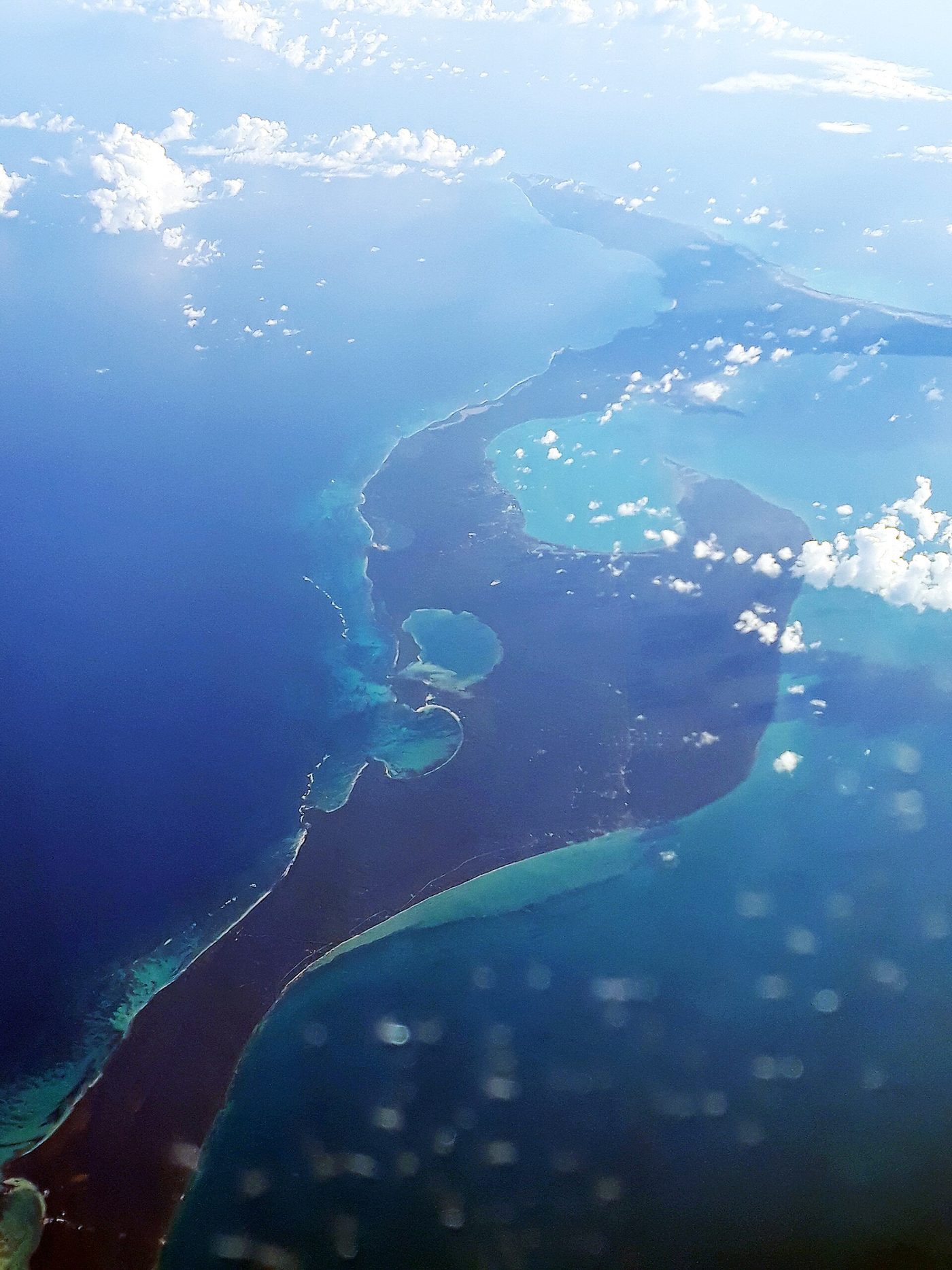
Map loading. If it does not appear, type or paste coordinates below — everything on this page works without it.
Elevation comes from a ninety-metre digital elevation model. It reads the ground around the pin, not the pad a house would sit on, and it is a screen rather than a survey. It does not tell you whether a specific property floods, what the insurer will say, where the parcel boundary runs, or whether any of it is for sale. Eleven feet is a number, not a verdict. Before you commit, get a surveyor on the actual ground and an insurance quote on the actual roof.
Elevation, swell and wind are measured by Open-Meteo and fetched by your browser — we store nothing and there is no key. Distances are computed against the coordinates in our ledger, all from the Wikipedia coordinates API and checked 2026-09-10. Gregory Town, Hatchet Bay, Current, James Cistern and Palmetto Point are not in this file because no verified coordinate was available for them. Distances from a pin in that stretch will name a settlement further away than the nearest one actually is, and the page tells you that rather than pretending otherwise.