GE Go EleutheraThe island, end to end
The Captain’s Wake-Up

Both tides, both coasts, the moon and what’s running — on your phone before you reach for it.

Five thirty in the morning, island time, every day. Written for the people who actually work on this water: captains, guides, dive operators, and anybody who has to decide at dawn whether today is a day to go. Free, and there is nothing in it to sell you.
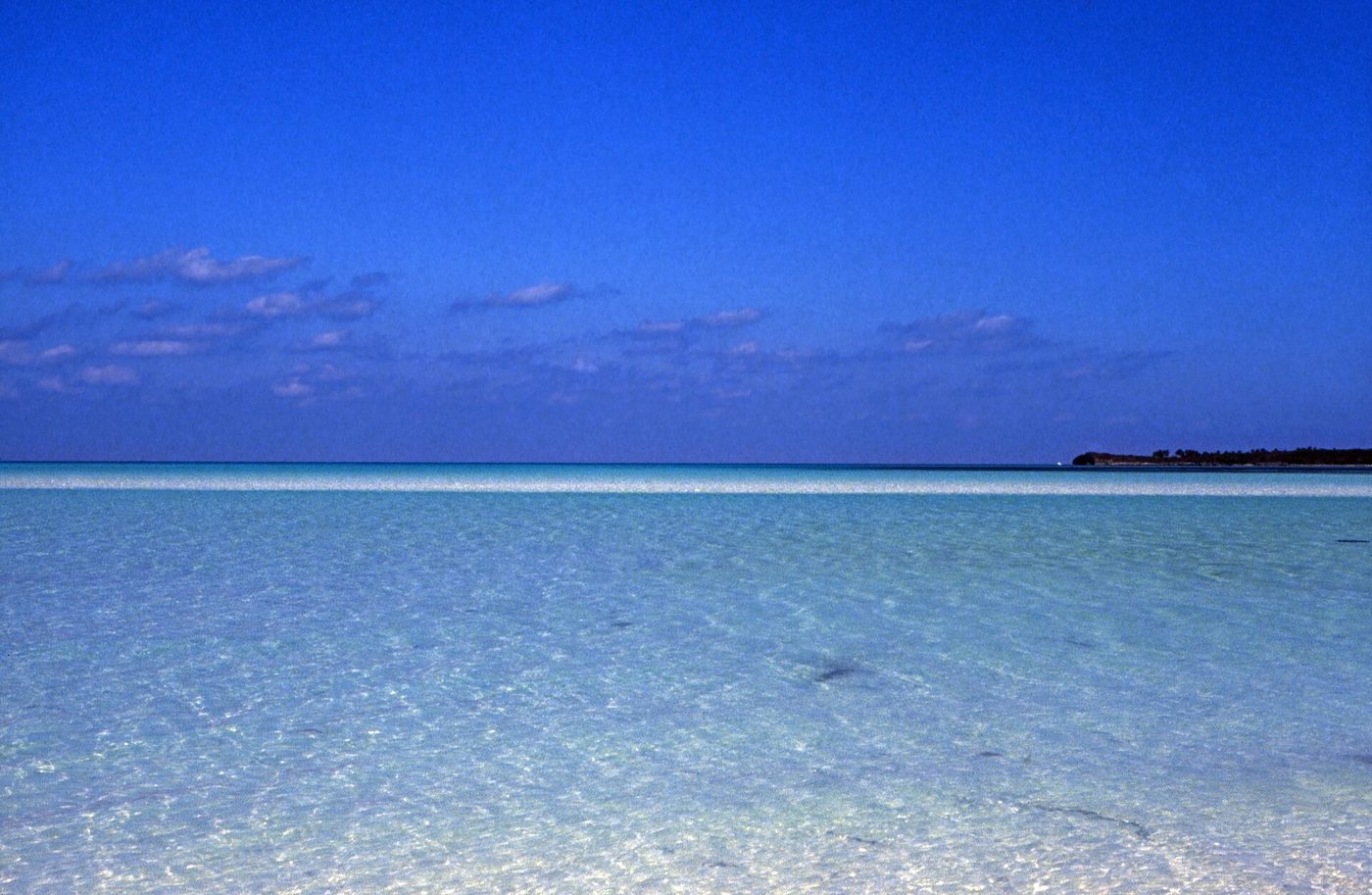
Empty turquoise flats off Spanish Wells with a distant cay
The flats off Spanish Wells, 1989. Ankle-deep for hundreds of yards, and where the bonefish are.Rüdiger Stehn · CC BY-SA 2.0 · source
Both high tides and both lowsComputed from the measured sea-level series for that point, not from a table printed a year ago. The times that actually decide when you can get off the flat and back over the bar.
Wind and swell, by end of the islandNorth, central and south, separately. On a hundred-and-ten-mile island one wind number is worthless — the whole trick here is that when the Atlantic is up the bank side is flat.
The moonPhase and how lit it is, computed from the date. It moves the tide and it moves the bite, and everybody who fishes here already knows that.
What is running this monthFrom the same species list the fishing report is built from, with the closed seasons live. If it is closed, the brief says closed.
Nothing to sell youNo offer, no listing, no property pitch. If this stops being worth opening it stops being worth sending, and one unsubscribe link is at the bottom of every one.
Get it

One address. Confirm it, and it starts tomorrow.

Double opt-in, because nobody belongs on a list they did not ask to be on. One click to unsubscribe at the bottom of every single one, and it works the first time.

By joining you are agreeing to

Read from three points, not one

A hundred and ten miles is too long for one forecast.

The brief reads the sea separately at the north end, the middle and the south, because the single most useful thing anybody can tell you here is which side is flat today — and that answer is different at Spanish Wells and at Rock Sound.

North end Spanish Wells and Harbour Island. 25.475, -76.68361
Central Governor's Harbour. 25.19472, -76.24389
South end Rock Sound and Cape Eleuthera. 24.8642, -76.1587

Closed seasons are in it, live

Nassau GrouperClosed December and January and February . The brief says so on the morning it matters, not in a footnote.

Tide, wind, swell and sea temperature are measured data from Open-Meteo. Species, seasons and rules come from the same source the fishing report is built from and are checked 2026-09-10 — see the ledger. If a morning’s data will not load, that line is left out of the brief rather than filled in with something plausible.